
Thank you for supporting this site ❤️
Make a donation
Make a donation
Gear up for your next adventure:
As an Amazon Associate, this site earns from qualifying purchases at no extra cost to you.
Waterside topographic map
Click on the map to display elevation.
Thank you for supporting this site ❤️
Make a donation
Make a donation
Gear up for your next adventure:
As an Amazon Associate, this site earns from qualifying purchases at no extra cost to you.
About this map
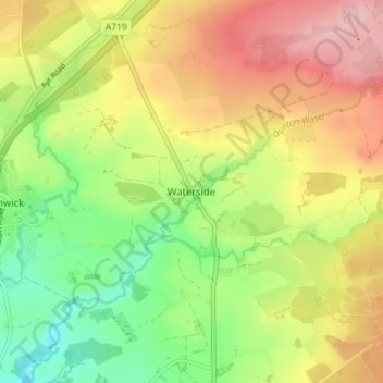
Name: Waterside topographic map, elevation, terrain.
Location: Waterside, East Ayrshire, Scotland, KA3 6JW, United Kingdom (55.64287 -4.42933 55.68287 -4.38933)
Average elevation: 551 ft
Minimum elevation: 302 ft
Maximum elevation: 820 ft
Thank you for supporting this site ❤️
Make a donation
Make a donation
Gear up for your next adventure:
As an Amazon Associate, this site earns from qualifying purchases at no extra cost to you.