
Jagdevpur topographic map
Click on the map to display elevation.
Jagdevpur
Located at 17°46′05″N 78°48′29″E / 17.768°N 78.808°E / 17.768; 78.808, Jagadevpur has an average elevation of 568 metres (1,864 ft). It is the fourth-largest mandal of the Siddipet district. Jagadevpur is 70 km north of Hyderabad and 30 km each from Bhongir and the famous Yadagirigutta (Temple).
About this map
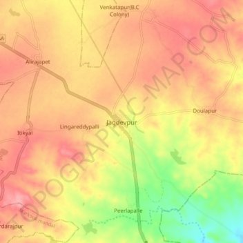
Name: Jagdevpur topographic map, elevation, terrain.
Average elevation: 1,791 ft
Minimum elevation: 1,588 ft
Maximum elevation: 1,913 ft