
Haro topographic map
Interactive map
Click on the map to display elevation.
About this map
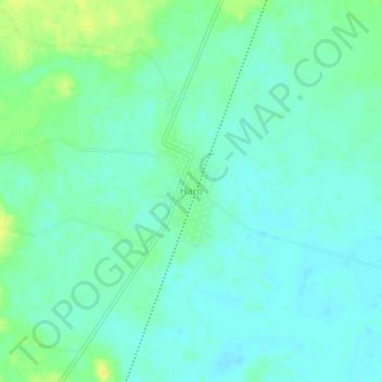
Name: Haro topographic map, elevation, terrain.
Location: Haro, Escárcega, Campeche, México (18.42486 -90.81134 18.46486 -90.77134)
Average elevation: 213 ft
Minimum elevation: 190 ft
Maximum elevation: 266 ft
Other topographic maps
Click on a map to view its topography, its elevation and its terrain.
Centenario
México > Campeche > Escárcega > Centenario
Centenario, Escárcega, Campeche, México
Average elevation: 187 ft
División del Norte
México > Campeche > Escárcega > División del Norte
División del Norte, Escárcega, Campeche, México
Average elevation: 295 ft