
Escárcega topographic map
Interactive map
Click on the map to display elevation.
About this map
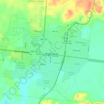
Name: Escárcega topographic map, elevation, terrain.
Location: Escárcega, Campeche, 24350, México (18.59012 -90.77137 18.62531 -90.72002)
Average elevation: 295 ft
Minimum elevation: 233 ft
Maximum elevation: 407 ft
Other topographic maps
Click on a map to view its topography, its elevation and its terrain.
Centenario
México > Campeche > Escárcega > Centenario
Centenario, Escárcega, Campeche, México
Average elevation: 187 ft
División del Norte
México > Campeche > Escárcega > División del Norte
División del Norte, Escárcega, Campeche, México
Average elevation: 295 ft