Geolocate

Loomis topographic map

Click on the map to display elevation.

About this map

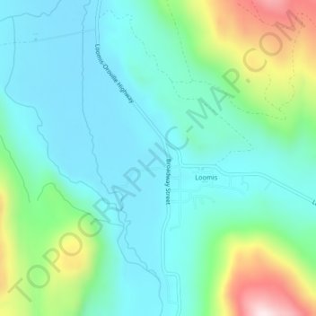
Name: Loomis topographic map, elevation, terrain.

Location: Loomis, Okanogan County, Washington, United States (48.81012 -119.64963 48.83508 -119.62490)

Average elevation: 1,611 ft

Minimum elevation: 1,194 ft

Maximum elevation: 2,910 ft

Gear up for your next adventure:

🥾Women's Hiking Boots - Top-rated trail boots with ankle support and superior grip
🧭GPS Watch Accessories - Bands and chargers for GPS watches
🥇GPS Hiking Watch - Multi‑sport GPS watch with navigation and trail tracking
🖼️Topo Map Wall Art - Decorative topographic prints of famous peaks and regions
🛡️Insect Repellent - Protection against bugs during outdoor activities

As an Amazon Associate, this site earns from qualifying purchases at no extra cost to you.