Geolocate

Grahan topographic map

Click on the map to display elevation.

About this map

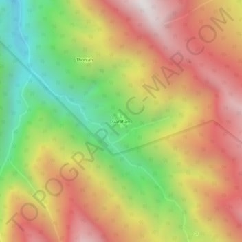
Name: Grahan topographic map, elevation, terrain.

Location: Grahan, Kullu, Himachal Pradesh, India (31.95178 77.32683 31.99178 77.36683)

Average elevation: 8,678 ft

Minimum elevation: 5,817 ft

Maximum elevation: 11,293 ft

Gear up for your next adventure:

🕶️Glacier Sunglasses - Side shields to protect eyes from high-altitude snow glare
🪶Fire Starter Kit - Reliable fire starter for survival and camping
🧥Waterproof Jacket for Hiking - Breathable and rugged rain jacket for outdoor excursions
🪶Camp Gear Gift Set - Perfect gift bundle for outdoor fans
👟Men's Trail Runners - Lightweight footwear for fast-paced exploration and light hiking

As an Amazon Associate, this site earns from qualifying purchases at no extra cost to you.