Geolocate

Mapimi topographic map

Click on the map to display elevation.

About this map

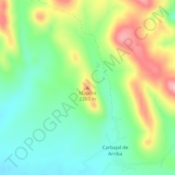
Name: Mapimi topographic map, elevation, terrain.

Location: Mapimi, Cusihuiriachi, Chihuahua, Mexico (28.31844 -107.02885 28.31854 -107.02875)

Average elevation: 7,575 ft

Minimum elevation: 7,362 ft

Maximum elevation: 7,920 ft

Gear up for your next adventure:

🦶Carbon Trekking Poles - Reduce knee impact on steep descents with ultra-light poles
🩳Quick‑Dry Hiking Shorts - Comfortable and quick‑dry shorts for summer hiking
🛰️Handheld GPS Units - Professional satellite navigators for precise backcountry mapping
Solar GPS Watches - Advanced multisport watches with built-in topographic maps
⛑️Personal Locator Beacon - Safety beacon for emergencies

As an Amazon Associate, this site earns from qualifying purchases at no extra cost to you.