
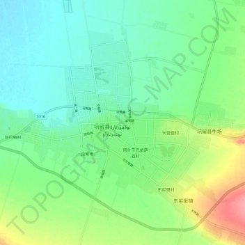
巩留镇 topographic map
Interactive map
Click on the map to display elevation.
About this map
Name: 巩留镇 topographic map, elevation, terrain.
Location: 巩留镇, 巩留县, 伊犁哈萨克自治州, 新疆维吾尔自治区, 中国 (43.44242 82.19355 43.52242 82.27355)
Average elevation: 2,546 ft
Minimum elevation: 2,461 ft
Maximum elevation: 2,746 ft
Other topographic maps
Click on a map to view its topography, its elevation and its terrain.