
特克斯河 topographic map
Interactive map
Click on the map to display elevation.
About this map
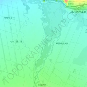
Name: 特克斯河 topographic map, elevation, terrain.
Location: 特克斯河, 巩留县, 伊犁哈萨克自治州, 新疆维吾尔自治区, 中国 (43.48786 82.49533 43.59289 82.51777)
Average elevation: 2,661 ft
Minimum elevation: 2,579 ft
Maximum elevation: 3,156 ft
Other topographic maps
Click on a map to view its topography, its elevation and its terrain.