
El Salado topographic map
Interactive map
Click on the map to display elevation.
About this map
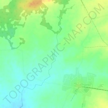
Name: El Salado topographic map, elevation, terrain.
Location: El Salado, Palmira, Cienfuegos, Cuba (22.27190 -80.43828 22.29663 -80.42316)
Average elevation: 148 ft
Minimum elevation: 95 ft
Maximum elevation: 213 ft
Other topographic maps
Click on a map to view its topography, its elevation and its terrain.
San Francisco
Cuba > Cienfuegos > Cumanayagua > San Francisco
San Francisco, Cumanayagua, Cienfuegos, Cuba
Average elevation: 148 ft