
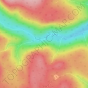
Northesk topographic map
Interactive map
Click on the map to display elevation.
About this map
Name: Northesk topographic map, elevation, terrain.
Average elevation: 1,319 ft
Minimum elevation: 981 ft
Maximum elevation: 1,565 ft
Other topographic maps
Click on a map to view its topography, its elevation and its terrain.
Wayerton
Canada > New Brunswick > Northesk Parish
Wayerton, Northesk Parish, Northumberland County, New Brunswick, Canada
Average elevation: 151 ft
Sevogle
Canada > New Brunswick > Northesk Parish
Sevogle, Northesk Parish, Northumberland County, New Brunswick, E9E 1R3, Canada
Average elevation: 151 ft
Sunny Corner
Canada > New Brunswick > Northesk Parish
Sunny Corner, Northesk Parish, Northumberland County, New Brunswick, E9E 1J1, Canada
Average elevation: 92 ft
Northwest Miramachi River
Canada > New Brunswick > Northesk Parish
Northwest Miramachi River, Northesk Parish, Northumberland County, New Brunswick, Canada
Average elevation: 702 ft