
Sparrow topographic map
Click on the map to display elevation.
About this map
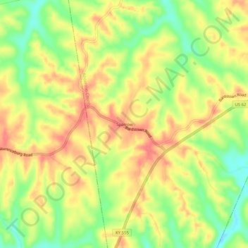
Name: Sparrow topographic map, elevation, terrain.
Location: Sparrow, Anderson County, Kentucky, United States (37.90396 -85.17079 37.94396 -85.13079)
Average elevation: 755 ft
Minimum elevation: 633 ft
Maximum elevation: 843 ft
Anderson County trails, hiking, mountain biking, running and outdoor activities