
Naruko topographic map
Click on the map to display elevation.
About this map
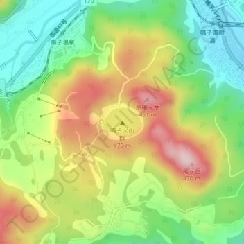
Name: Naruko topographic map, elevation, terrain.
Location: Naruko, Osaki, Miyagi Prefecture, 989-6823, Japan (38.73354 140.72449 38.73364 140.72459)
Average elevation: 866 ft
Minimum elevation: 413 ft
Maximum elevation: 1,453 ft