
Athi River topographic map
Interactive map
Click on the map to display elevation.
About this map
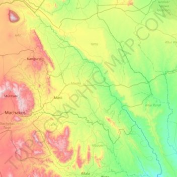
Name: Athi River topographic map, elevation, terrain.
Location: Athi River, Machakos, Kenya (-1.78099 37.15657 -1.06738 37.85932)
Average elevation: 4,216 ft
Minimum elevation: 2,776 ft
Maximum elevation: 7,014 ft