
Frampton topographic map
Click on the map to display elevation.
About this map
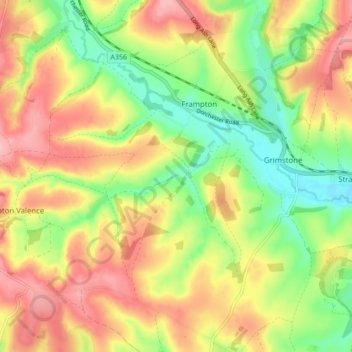
Name: Frampton topographic map, elevation, terrain.
Location: Frampton, Dorset, England, United Kingdom (50.71613 -2.56267 50.77055 -2.51217)
Average elevation: 430 ft
Minimum elevation: 217 ft
Maximum elevation: 643 ft