
Liberty topographic map
Click on the map to display elevation.
About this map
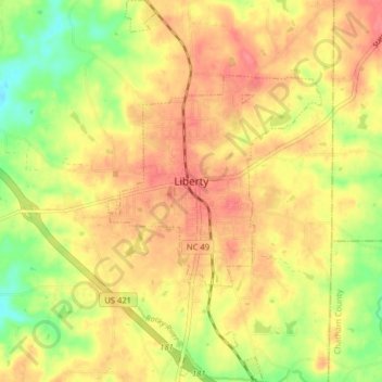
Name: Liberty topographic map, elevation, terrain.
Location: Liberty, Randolph County, North Carolina, United States (35.81947 -79.58908 35.88395 -79.54459)
Average elevation: 722 ft
Minimum elevation: 594 ft
Maximum elevation: 807 ft
Randolph County trails, hiking, mountain biking, running and outdoor activities
Other topographic maps
Click on a map to view its topography, its elevation and its terrain.
Redding Hills
United States > North Carolina > Randolph County > Asheboro > Redding Hills
Average elevation: 732 ft