
Austintown topographic map
Click on the map to display elevation.
About this map
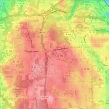
Name: Austintown topographic map, elevation, terrain.
Location: Austintown, Mahoning County, Ohio, 44515, United States (41.06105 -80.79385 41.13396 -80.71101)
Average elevation: 1,073 ft
Minimum elevation: 846 ft
Maximum elevation: 1,184 ft
Mahoning County trails, hiking, mountain biking, running and outdoor activities