
McCoy topographic map
Click on the map to display elevation.
About this map
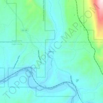
Name: McCoy topographic map, elevation, terrain.
Location: McCoy, Eagle County, Colorado, United States (39.89610 -106.74559 39.93610 -106.70559)
Average elevation: 6,978 ft
Minimum elevation: 6,617 ft
Maximum elevation: 8,576 ft
Eagle County trails, hiking, mountain biking, running and outdoor activities