Geolocate

Assumption topographic map

Click on the map to display elevation.

About this map

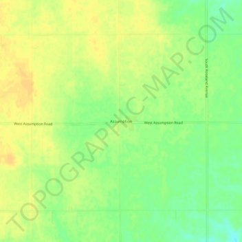
Name: Assumption topographic map, elevation, terrain.

Location: Assumption, Adams County, Nebraska, United States (40.49001 -98.59229 40.53001 -98.55229)

Average elevation: 1,985 ft

Minimum elevation: 1,932 ft

Maximum elevation: 2,014 ft

Adams County trails, hiking, mountain biking, running and outdoor activities

Gear up for your next adventure:

📦Dry Bags Set - Waterproof storage for electronics and clothes
🧭GPS Watch Accessories - Bands and chargers for GPS watches
🔦Compact Flashlight - Reliable flashlight for emergencies
🩳Quick‑Dry Hiking Shorts - Comfortable and quick‑dry shorts for summer hiking
🧢Sun Protection Hats - Wide-brimmed and UPF-rated hats for high-altitude sun safety

As an Amazon Associate, this site earns from qualifying purchases at no extra cost to you.