
Thank you for supporting this site ❤️
Make a donation
Make a donation
Gear up for your next adventure:
As an Amazon Associate, this site earns from qualifying purchases at no extra cost to you.
Kallorani topographic map
Click on the map to display elevation.
Thank you for supporting this site ❤️
Make a donation
Make a donation
Gear up for your next adventure:
As an Amazon Associate, this site earns from qualifying purchases at no extra cost to you.
About this map
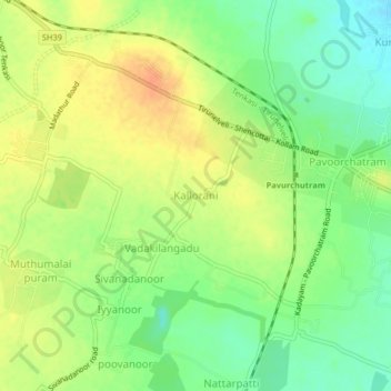
Name: Kallorani topographic map, elevation, terrain.
Location: Kallorani, Tenkasi, Tenkasi District, Tamil Nadu, 627806, India (8.89297 77.34558 8.93297 77.38558)
Average elevation: 518 ft
Minimum elevation: 449 ft
Maximum elevation: 584 ft
Thank you for supporting this site ❤️
Make a donation
Make a donation
Gear up for your next adventure:
As an Amazon Associate, this site earns from qualifying purchases at no extra cost to you.