
Arial topographic map
Click on the map to display elevation.
About this map
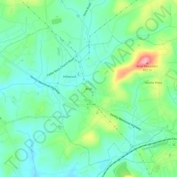
Name: Arial topographic map, elevation, terrain.
Location: Arial, Pickens County, South Carolina, 29641, United States (34.82595 -82.66152 34.86595 -82.62152)
Average elevation: 1,047 ft
Minimum elevation: 928 ft
Maximum elevation: 1,342 ft