
Thank you for supporting this site ❤️
Make a donation
Make a donation
Gear up for your next adventure:
As an Amazon Associate, this site earns from qualifying purchases at no extra cost to you.
Khudani topographic map
Click on the map to display elevation.
Thank you for supporting this site ❤️
Make a donation
Make a donation
Gear up for your next adventure:
As an Amazon Associate, this site earns from qualifying purchases at no extra cost to you.
About this map
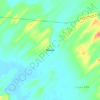
Name: Khudani topographic map, elevation, terrain.
Location: Khudani, Gadraroad Tehsil, Barmer, Rajasthan, India (25.86462 70.66718 25.90462 70.70718)
Average elevation: 548 ft
Minimum elevation: 495 ft
Maximum elevation: 689 ft
Thank you for supporting this site ❤️
Make a donation
Make a donation
Gear up for your next adventure:
As an Amazon Associate, this site earns from qualifying purchases at no extra cost to you.