
Keila topographic map
Interactive map
Click on the map to display elevation.
Keila
Keila liegt südöstlich der Orlasenke auf einer Höhe von 475 m über NN in eine der schönsten naturnahen Lage im Oberland um Schleiz.
About this map
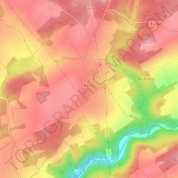
Name: Keila topographic map, elevation, terrain.
Average elevation: 1,463 ft
Minimum elevation: 1,142 ft
Maximum elevation: 1,598 ft