
Thor topographic map
Click on the map to display elevation.
About this map
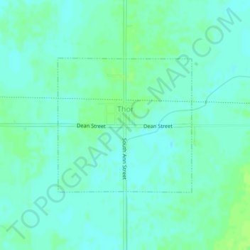
Name: Thor topographic map, elevation, terrain.
Location: Thor, Humboldt County, Iowa, United States (42.68089 -94.05947 42.69541 -94.03977)
Average elevation: 1,138 ft
Minimum elevation: 1,122 ft
Maximum elevation: 1,155 ft
Humboldt County trails, hiking, mountain biking, running and outdoor activities
Other topographic maps
Click on a map to view its topography, its elevation and its terrain.