Geolocate

Chiefton topographic map

Click on the map to display elevation.

About this map

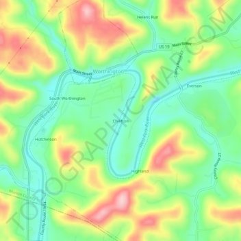
Name: Chiefton topographic map, elevation, terrain.

Location: Chiefton, Marion County, West Virginia, 26591, United States (39.42370 -80.27786 39.46370 -80.23786)

Average elevation: 1,066 ft

Minimum elevation: 820 ft

Maximum elevation: 1,434 ft

Marion County trails, hiking, mountain biking, running and outdoor activities

Gear up for your next adventure:

💧Water Filtration Bottles - Safely drink from streams and lakes while exploring
🎒Day Hiking Backpack - Lightweight backpack perfect for day trips and outdoor adventures
🪶Thermal Camp Blanket - Extra warmth for cold nights
🔋Solar Power Banks - Keep your GPS and phone charged in remote wilderness areas
📡Handheld GPS Device - Reliable handheld GPS for outdoor navigation

As an Amazon Associate, this site earns from qualifying purchases at no extra cost to you.