Geolocate

Yangling topographic map

Click on the map to display elevation.

About this map

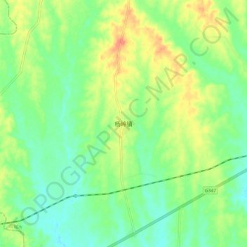
Name: Yangling topographic map, elevation, terrain.

Location: Yangling, Xiaogan, Hubei, China (30.86270 113.35915 30.94270 113.43915)

Average elevation: 151 ft

Minimum elevation: 92 ft

Maximum elevation: 240 ft

Gear up for your next adventure:

🔋Solar Power Banks - Keep your GPS and phone charged in remote wilderness areas
📶Vehicle Signal Boosters - Improve reception in rural areas while driving to trailheads
🥾Men's Hiking Boots - Durable, waterproof footwear for rugged terrain and steep inclines
🥤Water Filter Bottle - All‑in‑one filter bottle for safe hydration
🛰️Handheld GPS Units - Professional satellite navigators for precise backcountry mapping

As an Amazon Associate, this site earns from qualifying purchases at no extra cost to you.