
Reserve topographic map
Click on the map to display elevation.
Reserve
Reserve has a Mediterranean climate of the warm-summer type (Köppen: Csb), unusual in New Mexico. Despite having mild to hot daytime highs year round, temperatures substantially cool off during nighttime due to Reserve's high elevation and aridity. Even in the summertime, 90 degree days can cool off into the 40's. A freeze has been recorded every month of the year except August. Reserve receives most of its rainfall in the form of thunderstorms from mid-summer into fall from the North American Monsoon, which can produce hazardous flash floods very quickly. Snow usually falls once or twice a year, but melts quickly due to the high daytime temperatures.
About this map
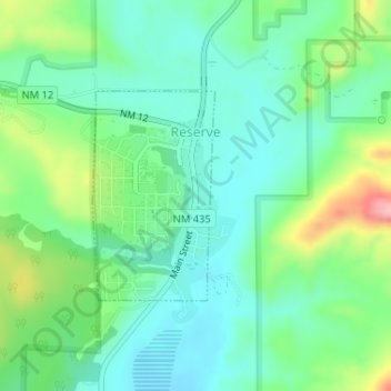
Name: Reserve topographic map, elevation, terrain.
Location: Reserve, Catron County, New Mexico, United States (33.70165 -108.76645 33.71615 -108.75625)
Average elevation: 5,840 ft
Minimum elevation: 5,692 ft
Maximum elevation: 6,201 ft
Catron County trails, hiking, mountain biking, running and outdoor activities
Other topographic maps
Click on a map to view its topography, its elevation and its terrain.