
Narnaul topographic map
Click on the map to display elevation.
Narnaul
Narnaul is located at 28°02′N 76°07′E / 28.04°N 76.11°E / 28.04; 76.11. It has an average elevation of 300 meters (977 feet). The district is rich in mineral resources such as iron ore, copper ore, beryl, tourmaline, muscovite, biotite, albite, calcite, and quartz.
About this map
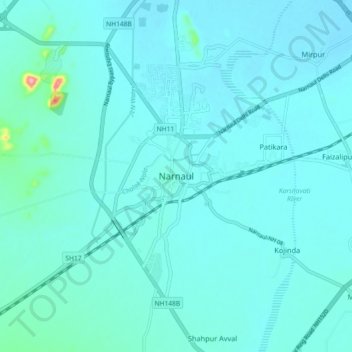
Name: Narnaul topographic map, elevation, terrain.
Location: Narnaul, Mahendragarh, Haryana, 123001, India (27.88385 75.94620 28.20385 76.26620)
Average elevation: 1,043 ft
Minimum elevation: 902 ft
Maximum elevation: 2,119 ft