Geolocate

Chansin topographic map

Click on the map to display elevation.

Chansin

Chansin se situe dans la vallée du Bocq, à une altitude de 180 m. Près du hameau se situe une carrière.

Wikipedia (CC-BY-SA 3.0)

About this map

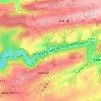
Name: Chansin topographic map, elevation, terrain.

Location: Chansin, Dorinne, Yvoir, Dinant, Namur, Wallonie, 5532, Belgique (50.30619 4.95750 50.34619 4.99750)

Average elevation: 801 ft

Minimum elevation: 459 ft

Maximum elevation: 994 ft

Gear up for your next adventure:

🦶Hiking Gaiters - Keep debris and water out of your boots
👟Trail Running Shoes - Lightweight shoes for trail runners
🦟Ultrasonic Repellers - Create a bug-free zone at your camp or rest stop
🗻Climbing Gear Basics - Essential gear for beginner climbers
🧯Portable Fire Pit - Compact fire pit for camping spots

As an Amazon Associate, this site earns from qualifying purchases at no extra cost to you.