
Ely topographic map
Click on the map to display elevation.
About this map
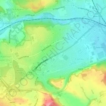
Name: Ely topographic map, elevation, terrain.
Location: Ely, Cardiff, Wales, United Kingdom (51.46505 -3.28127 51.48755 -3.23208)
Average elevation: 138 ft
Minimum elevation: 16 ft
Maximum elevation: 361 ft
Other topographic maps
Click on a map to view its topography, its elevation and its terrain.