
Make a donation
Gear up for your next adventure:
As an Amazon Associate, this site earns from qualifying purchases at no extra cost to you.
Malargüe topographic map
Click on the map to display elevation.
Make a donation
Gear up for your next adventure:
As an Amazon Associate, this site earns from qualifying purchases at no extra cost to you.
About this map
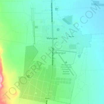
Name: Malargüe topographic map, elevation, terrain.
Average elevation: 4,688 ft
Minimum elevation: 4,534 ft
Maximum elevation: 5,269 ft
Make a donation
Gear up for your next adventure:
As an Amazon Associate, this site earns from qualifying purchases at no extra cost to you.
Other topographic maps
Click on a map to view its topography, its elevation and its terrain.
Las Leñas
Argentina > Mendoza > Distrito Ciudad de Malargüe
Las Leñas is a ski resort in Argentina, located in the western part of Mendoza Province. It has reliable powder snow and climate for extreme and off-piste skiing. Construction of the ski center began January 1983, and by July 1983, it opened with a 300 bed hotel. The ski area has a good diversity of slopes…
Average elevation: 7,851 ft
Cerro Risco Plateado
Argentina > Mendoza > Distrito Ciudad de Malargüe
Risco Plateado is a stratovolcano in Argentina, with an elevation of 4,999 metres (16,401 ft) above sea level. With a prominence of 1,602 metres (5,256 ft), it is one of the many ultra prominent peaks in the Andes. The equilibrium line altitude of the volcano lies at an altitude of 3,800 metres (12,500 ft).
Average elevation: 14,383 ft