Geolocate

Langwedel topographic map

Click on the map to display elevation.

About this map

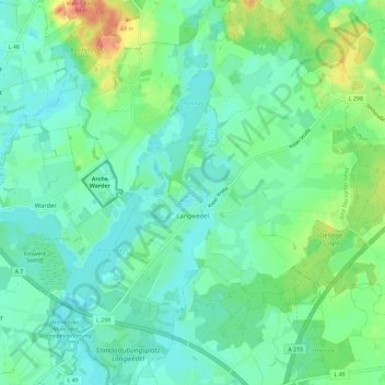
Name: Langwedel topographic map, elevation, terrain.

Location: Langwedel, Amt Nortorfer Land, Kreis Rendsburg-Eckernförde, Schleswig-Holstein, 24631, Germany (54.18190 9.89108 54.24939 9.97983)

Average elevation: 112 ft

Minimum elevation: 52 ft

Maximum elevation: 279 ft

Other topographic maps

Click on a map to view its topography, its elevation and its terrain.

Gear up for your next adventure:

Backpacking Tent - Lightweight and durable tent for multi‑day hikes
📻Weather Alert Radios - Stay informed of storm risks while off-the-grid
🧴Hand Sanitizer - Keep hands clean while hiking
🛡️Bear Spray Outdoor - Protection in bear country hikes
🥩Freeze-Dried Meals - Nutritious and lightweight food for remote expeditions

As an Amazon Associate, this site earns from qualifying purchases at no extra cost to you.