
Make a donation
Gear up for your next adventure:
As an Amazon Associate, this site earns from qualifying purchases at no extra cost to you.
Monte Soratte topographic map
Click on the map to display elevation.
Make a donation
Gear up for your next adventure:
As an Amazon Associate, this site earns from qualifying purchases at no extra cost to you.
Monte Soratte
Il Soratte ha una pianta ellissoide avente un asse longitudinale che si sviluppa per circa 5,5 km in direzione NNO-SSE secondo un profilo a forma di arco composto da sei cime, su una delle quali, a circa 400 m di altitudine, si trova il paese di Sant'Oreste.
Make a donation
Gear up for your next adventure:
As an Amazon Associate, this site earns from qualifying purchases at no extra cost to you.
About this map
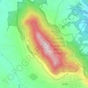
Name: Monte Soratte topographic map, elevation, terrain.
Location: Monte Soratte, Sant'Oreste, Roma, Lazio, Italia (42.24557 12.50189 42.24567 12.50199)
Average elevation: 1,010 ft
Minimum elevation: 282 ft
Maximum elevation: 2,195 ft
Make a donation
Gear up for your next adventure:
As an Amazon Associate, this site earns from qualifying purchases at no extra cost to you.