Geolocate

Bruno topographic map

Click on the map to display elevation.

About this map

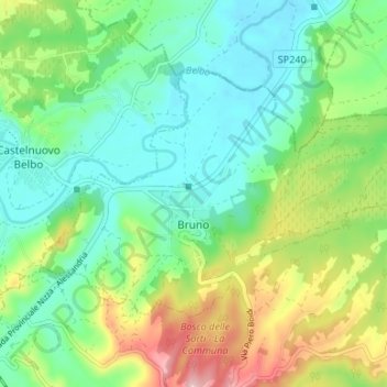
Name: Bruno topographic map, elevation, terrain.

Location: Bruno, Asti, Piedmont, Italy (44.78183 8.41428 44.81221 8.48076)

Average elevation: 564 ft

Minimum elevation: 351 ft

Maximum elevation: 1,017 ft

Other topographic maps

Click on a map to view its topography, its elevation and its terrain.

Zolfo

Italy > Piedmont > Asti > Montafia

Average elevation: 741 ft

Gear up for your next adventure:

🎒Trekking Poles - Sturdy poles for balance and stability on rough terrain
🧤Tactile Hiking Gloves - Keep hands warm while operating GPS and smartphone screens
🦶Hiking Gaiters - Keep debris and water out of your boots
🔦Powerful Headlamps - Ultra-bright hands-free lighting for night navigation
🗻Climbing Gear Basics - Essential gear for beginner climbers

As an Amazon Associate, this site earns from qualifying purchases at no extra cost to you.