Geolocate

Lake Yale topographic map

Click on the map to display elevation.

About this map

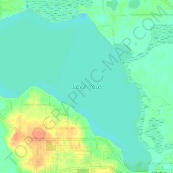
Name: Lake Yale topographic map, elevation, terrain.

Location: Lake Yale, Eustis, Lake County, Florida, United States (28.88337 -81.76952 28.93320 -81.70699)

Average elevation: 69 ft

Minimum elevation: 33 ft

Maximum elevation: 167 ft

Lake County trails, hiking, mountain biking, running and outdoor activities

Gear up for your next adventure:

🪶Multi‑Purpose Knife - Useful blade for camp and trail
🌧️Backpack Rain Cover - Keep gear dry in wet weather
🥾Hiking Shoes - Durable and comfortable shoes for trail hiking
🌐World Map Poster - Decorative world maps with topographic info
🧦Merino Wool Socks - Moisture-wicking, blister-preventing socks for long treks

As an Amazon Associate, this site earns from qualifying purchases at no extra cost to you.