
Thank you for supporting this site ❤️
Make a donation
Make a donation
Gear up for your next adventure:
As an Amazon Associate, this site earns from qualifying purchases at no extra cost to you.
Tucto topographic map
Click on the map to display elevation.
Thank you for supporting this site ❤️
Make a donation
Make a donation
Gear up for your next adventure:
As an Amazon Associate, this site earns from qualifying purchases at no extra cost to you.
About this map
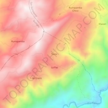
Name: Tucto topographic map, elevation, terrain.
Location: Tucto, Ludo, Sigsig, Azuay, Ecuador (-3.06390 -78.89263 -3.02390 -78.85263)
Average elevation: 9,528 ft
Minimum elevation: 7,877 ft
Maximum elevation: 10,564 ft
Thank you for supporting this site ❤️
Make a donation
Make a donation
Gear up for your next adventure:
As an Amazon Associate, this site earns from qualifying purchases at no extra cost to you.