Geolocate

Wroughton Copse topographic map

Click on the map to display elevation.

About this map

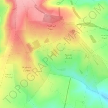
Name: Wroughton Copse topographic map, elevation, terrain.

Location: Wroughton Copse, Fyfield, Wiltshire, England, United Kingdom (51.43542 -1.80445 51.43829 -1.80181)

Average elevation: 689 ft

Minimum elevation: 482 ft

Maximum elevation: 866 ft

Gear up for your next adventure:

🔊Portable Camp Speaker - Music and alerts at camp
🕶️Glacier Sunglasses - Side shields to protect eyes from high-altitude snow glare
🥄Camping Utensil Set - Lightweight utensils for outdoor meals
🎒Day Hiking Backpack - Lightweight backpack perfect for day trips and outdoor adventures
🪶Survival Guide Book - Expert advice for emergency preparedness

As an Amazon Associate, this site earns from qualifying purchases at no extra cost to you.