
Thank you for supporting this site ❤️
Make a donation
Make a donation
Gear up for your next adventure:
As an Amazon Associate, this site earns from qualifying purchases at no extra cost to you.
Muratlı topographic map
Click on the map to display elevation.
Thank you for supporting this site ❤️
Make a donation
Make a donation
Gear up for your next adventure:
As an Amazon Associate, this site earns from qualifying purchases at no extra cost to you.
About this map
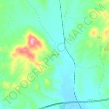
Name: Muratlı topographic map, elevation, terrain.
Location: Muratlı, Tarsus, Mersin, Mediterranean Region, Turkey (37.01756 34.99240 37.05756 35.03240)
Average elevation: 322 ft
Minimum elevation: 164 ft
Maximum elevation: 741 ft
Thank you for supporting this site ❤️
Make a donation
Make a donation
Gear up for your next adventure:
As an Amazon Associate, this site earns from qualifying purchases at no extra cost to you.