Geolocate

Capagao topographic map

Click on the map to display elevation.

About this map

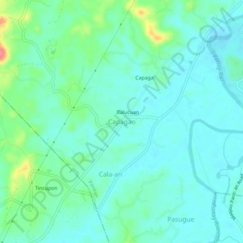
Name: Capagao topographic map, elevation, terrain.

Location: Capagao, Panitan, Capiz, Western Visayas, 5815, Philippines (11.41064 122.72410 11.45064 122.76410)

Average elevation: 66 ft

Minimum elevation: 13 ft

Maximum elevation: 253 ft

Gear up for your next adventure:

🧺Microfiber Travel Towels - Compact and fast-drying towels for trail use
🗺️Topographic Maps - Detailed topo maps for hiking, exploring and outdoor navigation
🧭Hiking Compass - Precision compass for reliable navigation in the wilderness
🛰️Handheld GPS Units - Professional satellite navigators for precise backcountry mapping
🦶Hiking Gaiters - Keep debris and water out of your boots

As an Amazon Associate, this site earns from qualifying purchases at no extra cost to you.