
Make a donation
Gear up for your next adventure:
As an Amazon Associate, this site earns from qualifying purchases at no extra cost to you.
Lamego topographic map
Click on the map to display elevation.
Make a donation
Gear up for your next adventure:
As an Amazon Associate, this site earns from qualifying purchases at no extra cost to you.
Lamego
Lamego has a Mediterranean climate with warm, dry summers and cool, wet winters. The nearest station from Lamego is located in Bigorne almost 400 m (1,300 ft) higher in altitude. Temperatures there are cooler than in Lamego.
Make a donation
Gear up for your next adventure:
As an Amazon Associate, this site earns from qualifying purchases at no extra cost to you.
About this map
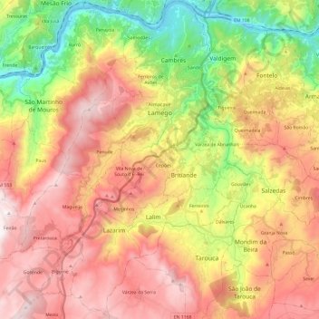
Name: Lamego topographic map, elevation, terrain.
Location: Lamego, Viseu, Portugal (40.98150 -7.91568 41.16187 -7.72997)
Average elevation: 2,067 ft
Minimum elevation: 144 ft
Maximum elevation: 3,852 ft
Make a donation
Gear up for your next adventure:
As an Amazon Associate, this site earns from qualifying purchases at no extra cost to you.