
Calvert topographic map
Interactive map
Click on the map to display elevation.
About this map
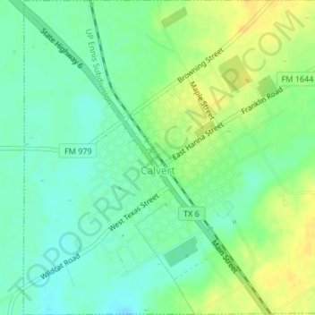
Name: Calvert topographic map, elevation, terrain.
Location: Calvert, Robertson County, Texas, 77837, United States (30.96473 -96.68818 30.99350 -96.65491)
Average elevation: 338 ft
Minimum elevation: 302 ft
Maximum elevation: 381 ft
Robertson County trails, hiking, mountain biking, running and outdoor activities
Other topographic maps
Click on a map to view its topography, its elevation and its terrain.