Geolocate

Dyess topographic map

Click on the map to display elevation.

About this map

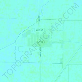
Name: Dyess topographic map, elevation, terrain.

Location: Dyess, Mississippi County, Arkansas, 72330, United States (35.58264 -90.22437 35.59735 -90.20439)

Average elevation: 223 ft

Minimum elevation: 217 ft

Maximum elevation: 230 ft

Mississippi County trails, hiking, mountain biking, running and outdoor activities

Other topographic maps

Click on a map to view its topography, its elevation and its terrain.

Gear up for your next adventure:

🧣Hiking Neck Gaiter - Multi‑use neck protection for outdoor weather
🏕️Family Camping Gear - Essentials for group camping trips
📱Solar Portable Charger - Solar power bank for charging devices off‑grid
🧤Tactile Hiking Gloves - Keep hands warm while operating GPS and smartphone screens
Solar GPS Watches - Advanced multisport watches with built-in topographic maps

As an Amazon Associate, this site earns from qualifying purchases at no extra cost to you.