Geolocate

Cha topographic map

Click on the map to display elevation.

About this map

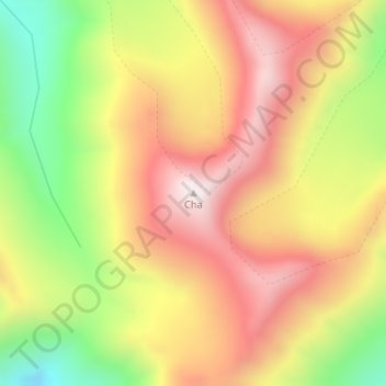
Name: Cha topographic map, elevation, terrain.

Location: Cha, Zanskar tehsil, Kargil district, Ladakh, India (33.32025 77.09178 33.32035 77.09188)

Average elevation: 18,504 ft

Minimum elevation: 17,136 ft

Maximum elevation: 19,623 ft

Gear up for your next adventure:

👓Polarized Sunglasses - Outdoor sunglasses for glare reduction
🥩Freeze-Dried Meals - Nutritious and lightweight food for remote expeditions
🗻Climbing Gear Basics - Essential gear for beginner climbers
👟Trail Running Shoes - Lightweight shoes for trail runners
🛏️Cold Weather Sleeping Bag - Warm sleeping bag for cold conditions

As an Amazon Associate, this site earns from qualifying purchases at no extra cost to you.