Geolocate

Fort Clark topographic map

Click on the map to display elevation.

About this map

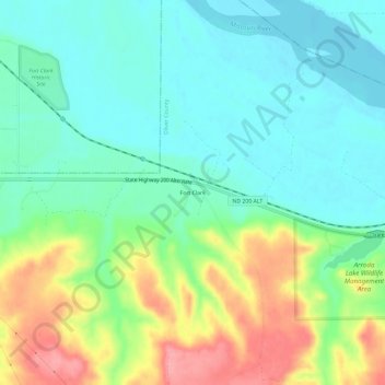
Name: Fort Clark topographic map, elevation, terrain.

Location: Fort Clark, Oliver County, North Dakota, United States (47.22000 -101.27210 47.26000 -101.23210)

Average elevation: 1,755 ft

Minimum elevation: 1,650 ft

Maximum elevation: 1,965 ft

Oliver County trails, hiking, mountain biking, running and outdoor activities

Gear up for your next adventure:

📖Nature Tracking Books - Learn to track wildlife and terrain
🪶Camp Gear Gift Set - Perfect gift bundle for outdoor fans
🔌USB Car Charger - Car charger for on‑the‑go power needs
📡GPS Antenna Upgrade - Enhance GPS reception in remote terrain
Camping Coffee Makers - Enjoy premium coffee at the summit or campsite

As an Amazon Associate, this site earns from qualifying purchases at no extra cost to you.