Geolocate

Cappadocia topographic map

Click on the map to display elevation.

Cappadocia

Cappadocia lies in central Anatolia, in the heartland of what is now Turkey. The relief consists of a high plateau over 1,000 m in altitude that is pierced by volcanic peaks, with Mount Erciyes (ancient Argaeus) near Kayseri (ancient Caesarea) being the tallest at 3,916 m. The boundaries of historical Cappadocia are vague, particularly towards the west.

Wikipedia (CC-BY-SA 3.0)

About this map

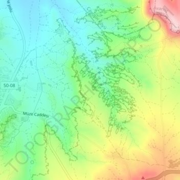
Name: Cappadocia topographic map, elevation, terrain.

Location: Cappadocia, Göreme, Nevşehir, Central Anatolia Region, 50300, Turkey (38.62861 34.83552 38.64861 34.85552)

Average elevation: 3,829 ft

Minimum elevation: 3,491 ft

Maximum elevation: 4,167 ft

Gear up for your next adventure:

🎒Gear Packing Cubes - Organize your backpack efficiently
Backpacking Tents - Weight-optimized shelters for multi-day topographic surveys
🌡️Handheld Weather Meters - Measure wind, temp, and pressure for safe mountain travel
🛏️Cold Weather Sleeping Bag - Warm sleeping bag for cold conditions
🏥Hiking First Aid Kits - Comprehensive medical kits for remote trail injuries

As an Amazon Associate, this site earns from qualifying purchases at no extra cost to you.