Geolocate

Tibbie topographic map

Click on the map to display elevation.

About this map

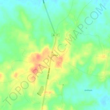
Name: Tibbie topographic map, elevation, terrain.

Location: Tibbie, Washington County, Alabama, 36583, United States (31.34211 -88.26862 31.38211 -88.22862)

Average elevation: 180 ft

Minimum elevation: 115 ft

Maximum elevation: 272 ft

Washington County trails, hiking, mountain biking, running and outdoor activities

Gear up for your next adventure:

🎒Gear Packing Cubes - Organize your backpack efficiently
🧭Pro Hiking Compasses - High-accuracy liquid-filled compasses for topographic orientation
🥾Women's Hiking Boots - Top-rated trail boots with ankle support and superior grip
Backpacking Tent - Lightweight and durable tent for multi‑day hikes
🌧️Backpack Rain Cover - Keep gear dry in wet weather

As an Amazon Associate, this site earns from qualifying purchases at no extra cost to you.