Geolocate

Erling topographic map

Click on the map to display elevation.

About this map

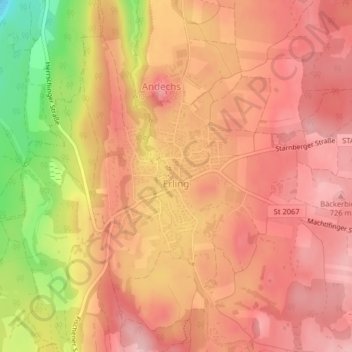
Name: Erling topographic map, elevation, terrain.

Location: Erling, Andechs, Landkreis Starnberg, Bayern, Deutschland (47.96172 11.17602 47.97376 11.19200)

Average elevation: 2,201 ft

Minimum elevation: 1,827 ft

Maximum elevation: 2,365 ft

Gear up for your next adventure:

🪶Multi‑Purpose Knife - Useful blade for camp and trail
📷Action Camera - Capture your outdoor adventures in HD
📷Action Cameras - Rugged cameras to document your journeys across rugged terrain
🦺Reflective Outdoor Gear - Safety gear for low‑light conditions
🦶Carbon Trekking Poles - Reduce knee impact on steep descents with ultra-light poles

As an Amazon Associate, this site earns from qualifying purchases at no extra cost to you.