
Groseclose topographic map
Click on the map to display elevation.
About this map
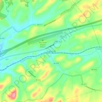
Name: Groseclose topographic map, elevation, terrain.
Location: Groseclose, Smyth County, Virginia, 24368, United States (36.86956 -81.36705 36.90956 -81.32705)
Average elevation: 2,549 ft
Minimum elevation: 2,398 ft
Maximum elevation: 2,808 ft
Smyth County trails, hiking, mountain biking, running and outdoor activities