Geolocate

Muirhead topographic map

Click on the map to display elevation.

About this map

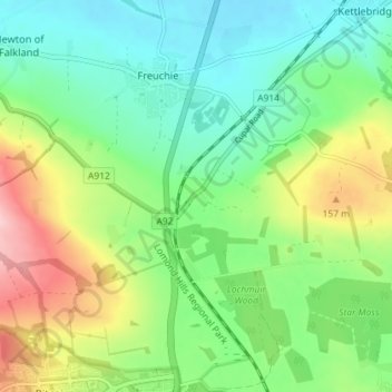
Name: Muirhead topographic map, elevation, terrain.

Location: Muirhead, Freuchie, Fife, Scotland, KY15 7JG, United Kingdom (56.21628 -3.16994 56.25628 -3.12994)

Average elevation: 322 ft

Minimum elevation: 125 ft

Maximum elevation: 709 ft

Gear up for your next adventure:

🪶Paracord Bracelet - Survival bracelet with built‑in tools
🕶️Glacier Sunglasses - Side shields to protect eyes from high-altitude snow glare
📦Gear Storage Bags - Organize and protect outdoor equipment
📷Action Cameras - Rugged cameras to document your journeys across rugged terrain
🧥Men's Rain Shells - Premium waterproof and breathable jackets for mountain weather

As an Amazon Associate, this site earns from qualifying purchases at no extra cost to you.