Geolocate

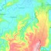
Mambuaya topographic map

Click on the map to display elevation.

About this map
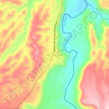
Name: Mambuaya topographic map, elevation, terrain.

Location: Mambuaya, Cagayan de Oro, Northern Mindanao, 9000, Philippines (8.30763 124.57772 8.34763 124.61772)

Average elevation: 666 ft

Minimum elevation: 230 ft

Maximum elevation: 1,079 ft

Other topographic maps

Click on a map to view its topography, its elevation and its terrain.

Cugman River

Philippines > Cagayan de Oro > F. S. Catanico

Average elevation: 810 ft

Calaanan Creek

Philippines > Cagayan de Oro

Average elevation: 230 ft

Divisoria Plaza

Philippines > Cagayan de Oro

Average elevation: 36 ft

Gaston Park

Philippines > Cagayan de Oro

Average elevation: 43 ft

Rodelsa Circle

Philippines > Cagayan de Oro

Average elevation: 62 ft

Iponan River

Philippines > Cagayan de Oro

Average elevation: 240 ft

Xavier Heights

Philippines > Cagayan de Oro

Average elevation: 315 ft

Agusan River

Philippines > Cagayan de Oro

Average elevation: 646 ft

Divisoria Plaza

Philippines > Cagayan de Oro

Average elevation: 36 ft

Divisoria Plaza

Philippines > Cagayan de Oro

Average elevation: 36 ft

Rodelsa Circle

Philippines > Cagayan de Oro

Average elevation: 62 ft

Gear up for your next adventure:

🌡️Handheld Weather Meters - Measure wind, temp, and pressure for safe mountain travel
📻Weather Alert Radios - Stay informed of storm risks while off-the-grid
🔋Rechargeable Batteries - Power up your outdoor devices
📌Outdoor GPS Map App - Apps and devices for digital topographic navigation
🌡️Portable Weather Meter - Track weather conditions on the trail

As an Amazon Associate, this site earns from qualifying purchases at no extra cost to you.